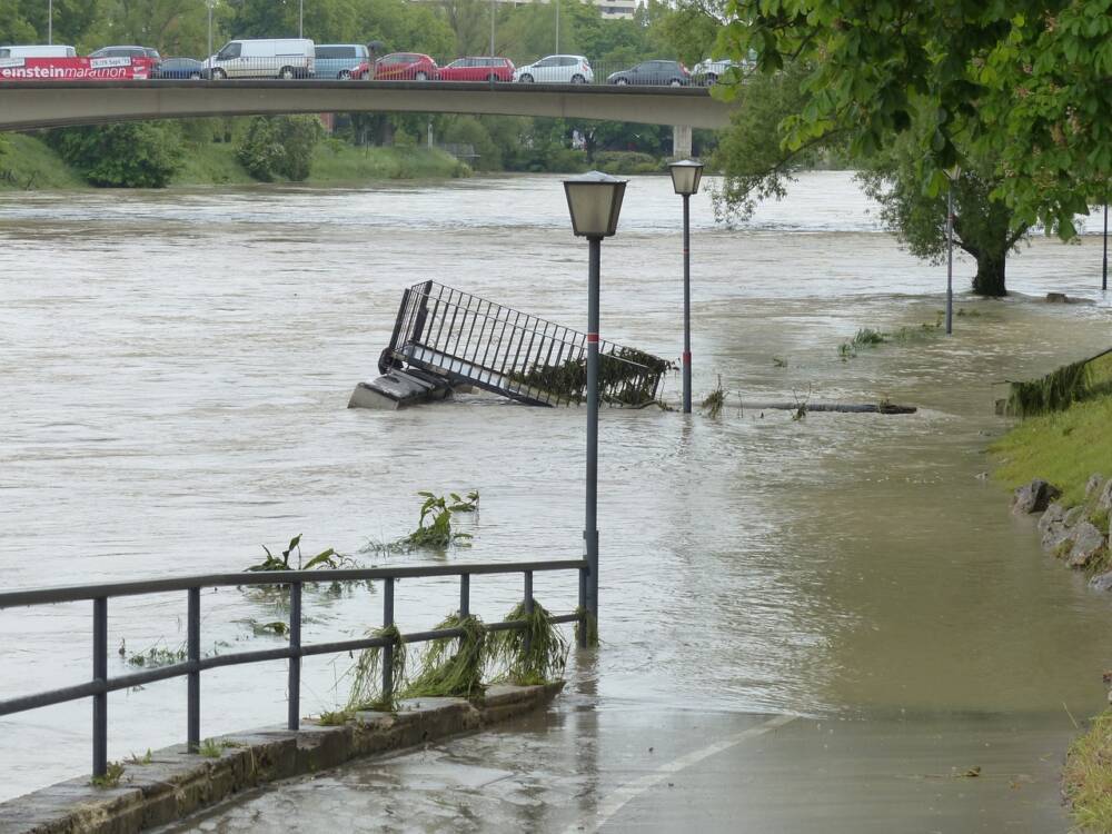

To be able to map flood and landslide risks and assess erosion and waterway disturbance, a green laser has now been tested. The aim is to manage the risk of flooding and landslides in the long term.
“Lake and river depth data is important to ensure knowledge-based management of freshwater resources and our waterways,” says Brigt Samdal, director of landslides and waterways at NVE. This has also been updated due to the need for more accurate mapping of depth and ground conditions to manage quick clay (kvikkleire) risk, continues Samdal.
NVE, Mapping Office, Norwegian Environment Agency, the Norwegian Roads Authority and Hafslund ECO have joined forces to test whether green laser is a mature and reliable technology for mapping the depths of Norwegian rivers and lakes. It is available now report from a project that shows promising results.
important to society
Land department director Knut Karper Bjørgaas at the Mapping Authority believes laser mapping data is an important contribution to both the city, county and state sectors.
– We see that the green laser can play an important role for municipalities and state-owned enterprises. The mapping data will be transformed into a coherent data model from the deepest bottom to the highest peaks, at sea and on land. The green laser gives us a useful tool for spatial planning and climate adaptation, says Bjørgaas.
What do the results show?
Six research areas were selected for the laser project. They are: Lærdalselvi, Tangeelva/Gjermåa/Leira, Bøelva, Glomma, Selbusjøen, Krøderen and Hallingdalselva. The project shows that the green laser can be a technology with many promising applications. This is a more efficient and safer method of collecting depth data than traditional boat measurement.
Like us on Facebook and share our post with others. Thank you.
Source: NVE
Read and learn more: The government is considering creating a mandatory register of small boats
